The short answer
Start with two neighbourhoods and your real weekly destinations. Surrey and Langley each contain different housing settings. In Langley, also identify whether the address is in Langley City or the Township; they are separate municipalities.
Langley City: municipal contextChoose a neighbourhood
Compare City Centre, Fleetwood, Cloverdale and other areas individually.
Check the municipality
Use the correct City or Township planning information for the address.
Test today’s journey
Keep existing services separate from future infrastructure plans.
The basics
Three municipalities, not two
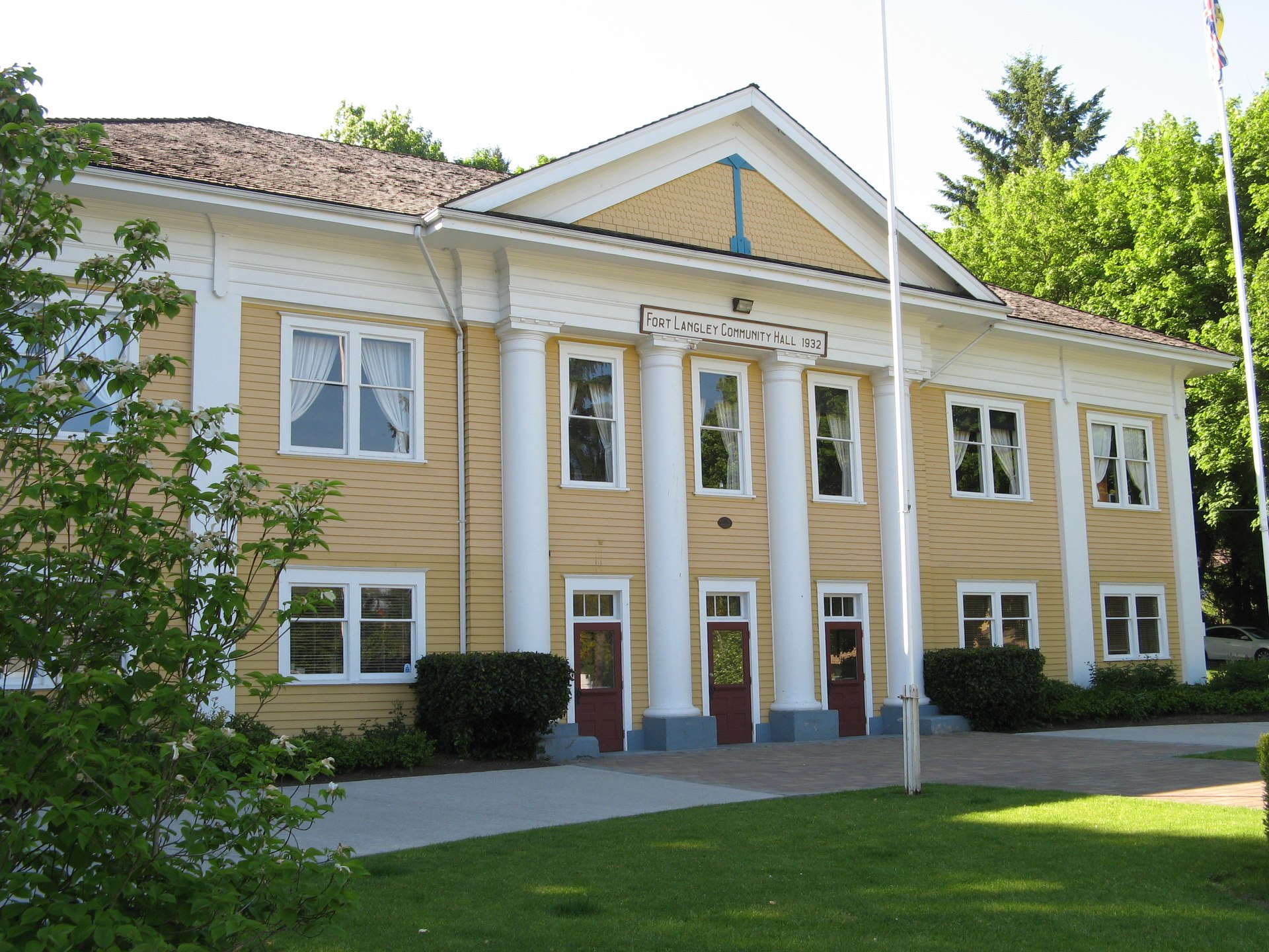
“Langley” is two separate local governments. Langley City is a compact urban centre of about 10 square kilometres. It was incorporated as its own municipality on March 15, 1955. The Township of Langley surrounds it and includes places like Fort Langley, Willoughby, Walnut Grove, Murrayville, Aldergrove and Brookswood-Fernridge.
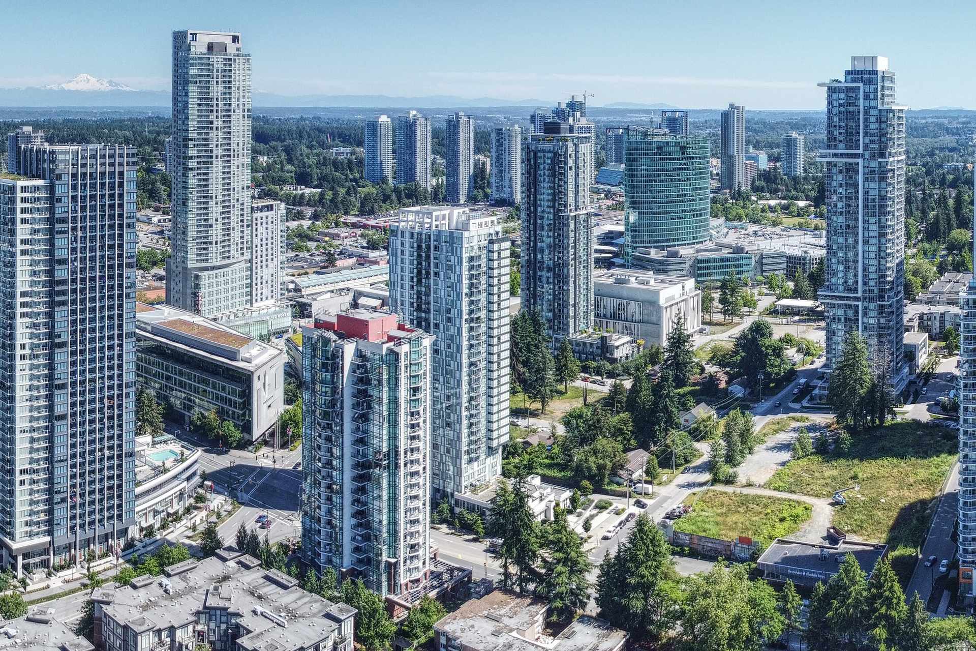
Surrey is one city made up of six communities: Cloverdale, Fleetwood, Guildford, Newton, South Surrey and Whalley, which contains City Centre. So a Surrey versus Langley choice is really a choice among three councils, three sets of plans and many neighbourhoods.
Why it matters
Why the municipality matters for your address
Each municipality writes its own plans. Langley City adopted Official Community Plan Bylaw No. 3200 on November 22, 2021, and a new Zoning Bylaw in March 2026. The Township uses community and neighbourhood plans for specific areas. Surrey introduced its Surrey 2050 Official Community Plan bylaw on February 23, 2026.
An Official Community Plan (OCP) is a council’s long-range guide to land use. It shapes what may be built near a home, so read the right one.
How it works
A practical way to compare Surrey and Langley
Use official sources and your own visits. This method avoids city-wide price or ranking claims, which rarely describe a single street.
Name the municipality first
Check the property tax notice or title for each address. A Langley mailing address does not tell you whether it is the City or the Township.
Open the matching plan
Use Surrey’s OCP page and mapping tools, Langley City’s OCP, or the Township’s community plan register for that area.
Check for recent plan changes
The Township replaced the Willoughby Community Plan on June 15, 2026, and created the Willoughby Transit Corridor and Gordon plans. Older brochures may cite replaced plans.
Test today’s transit
The Expo Line now ends at King George Station in Surrey. Its Surrey stops are Scott Road, Gateway, Surrey Central and King George.
Treat the extension as future
The Surrey Langley SkyTrain will add 16 km and eight stations along Fraser Highway to 203 Street in Langley City. The Province lists late 2029 as the in-service date.
Compare like with like
Match home type, size, age and tenure across both shortlists. Then compare full monthly costs with the mortgage payment calculator.
Avoid these
Comparison mistakes to avoid
Using “Langley” as one place
City and Township have different councils, plans and bylaws. Research the one that actually governs the address.
Buying a station that does not exist yet
Planned stations are not open. Make sure the home works with today’s bus and rail service if the timeline moves.
Relying on a superseded plan
Plans change. The Township notes some Willoughby applications made before June 15, 2026 may proceed under the old plans until June 15, 2028. Ask which plan applies nearby.
Comparing city averages
A city-wide figure hides big differences between, say, Cloverdale and City Centre. Compare specific streets and homes.
Questions to ask
Questions to ask while you compare
The municipality’s planning desk
- Which plan and land use designation cover this address?
- Are any applications in progress on nearby lots?
- Is an OCP update under way that could affect this area?
Your real estate agent
- Is this address in Langley City or the Township of Langley?
- Are these two homes truly comparable in type and age?
- Which neighbourhoods fit my list in each municipality?
TransLink trip planner and the project site
- How long is my real trip today, door to door?
- Which future station would be nearest, and is it confirmed?
- What is the current project status?
FAQ
Common questions
Are Langley City and the Township of Langley the same?
No. Langley City was incorporated as its own municipality in 1955. It is a separate local government from the Township of Langley, with its own council, plan and zoning. Use the right website for permits, plans and services.
Where will the new SkyTrain stations be?
The Province lists eight stations: Green Timbers, 152 Street, Fleetwood, Bakerview-166 Street, Hillcrest-184 Street, Clayton, Willowbrook and Langley City Centre. Three will have transit exchanges: Bakerview-166 Street, Willowbrook and Langley City Centre.
Should future SkyTrain decide where I buy?
Treat it as one factor. The anticipated in-service date is late 2029, and dates can change. Choose a home that works with the transit and roads available today.
How do I know which municipality an address is in?
Look at the latest property tax notice or the title search for the home, and ask your agent to confirm. Then read our Langley guide and Surrey pages before you visit.
Where do I find the plan for a Township address?
The Township keeps a register of adopted community and neighbourhood plans. These set policies on future land use, amenities and mobility for specific areas.