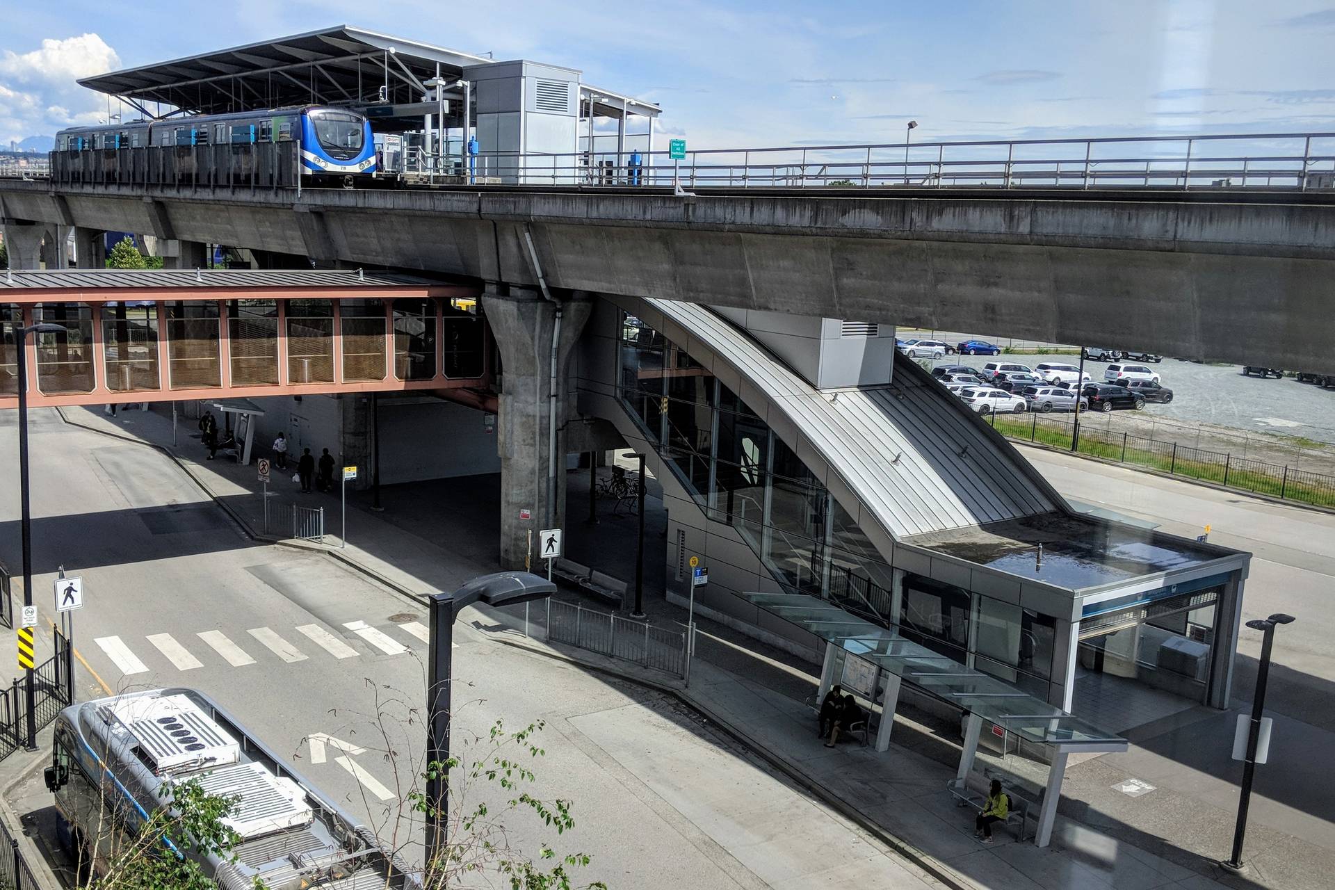
About Bridgeport
Bridgeport appears in Richmond’s area-plan framework.
- The planning map is a useful way to investigate land uses around a shortlisted property instead of assuming every neighbouring parcel has the same residential character.

What to check on a visit
Spend time outside the building at more than one hour.
- Observe traffic, deliveries and access to the residential entrance.
- Check whether your walking route feels practical with bags or a stroller, and test the turns involved in reaching parking.
Questions to ask before buying
For a noise-sensitive household, experience the address directly rather than relying on a general neighbourhood description.
- Discuss property-specific concerns with the relevant authority or professional and record any uncertainty before deciding whether the home is a fit.
Your viewing checklist.
Tick each point as you review it. Print a copy to keep.
Save after each viewing
Your Bridgeport viewing notes
Use the same three questions for every address you visit.
The home
Does the layout fit your furniture, storage and access needs?
The location
What did you notice about your route, parking and nearby activity?
Still to confirm
Which documents or answers do you need before deciding?
Planning resources for Richmond
Richmond reports 49 kilometres of dikes and 39 drainage pump stations in its flood-protection system.
Read the City’s flood information, then ask about the individual property, disclosures and insurance. A city-wide protection system is not an address-specific risk assessment.
Official planning informationRead the Richmond city guideOfficial information
Start with these resources, then confirm the details for your property and circumstances.
Richmond area plansReference review: September 30, 2026